Search
You searched for:
Start Over
Historic stream surveys
Remove constraint Historic stream surveys
Subject
Dams
Remove constraint Subject: Dams
« Previous | 1 - 50 of 436 | Next »
Search Results
-
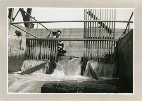
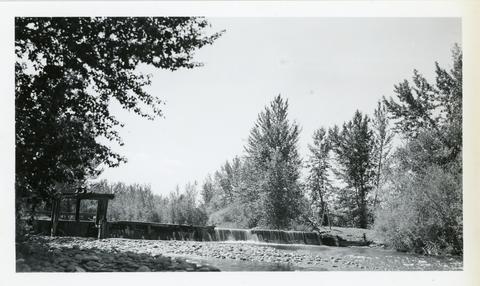
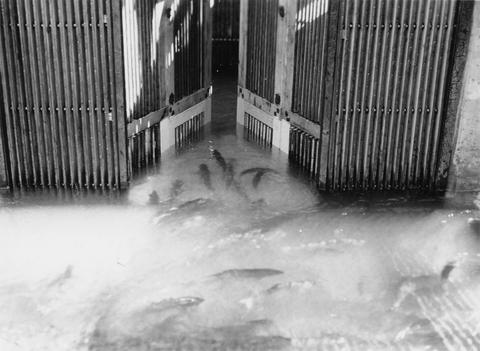
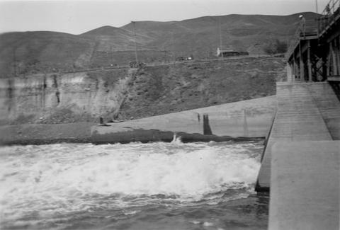
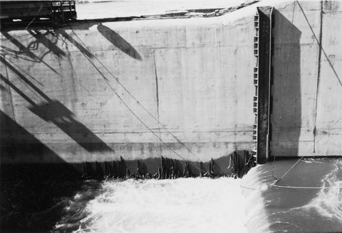
1. [Image] Lewiston Dam weir
-
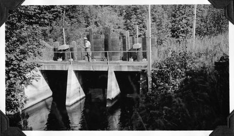
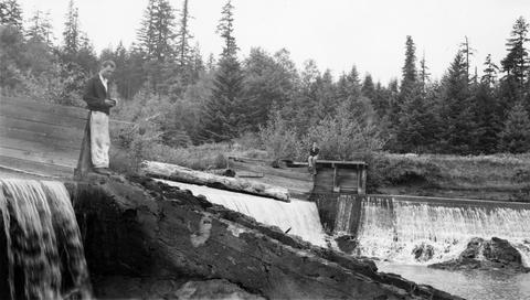
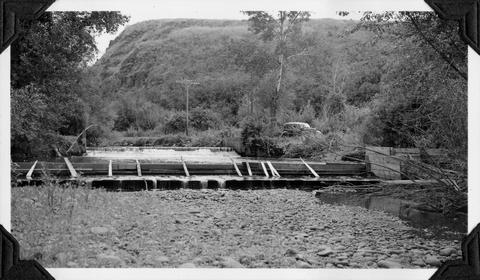
2. [Image] Idaho Power diversion dam
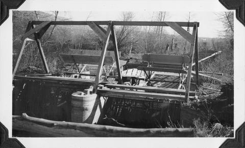
 Idaho Power Company's diversion dam (power) on Lemhi River at Salmon, Idaho
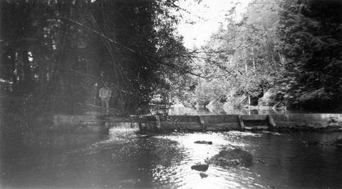
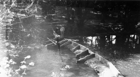
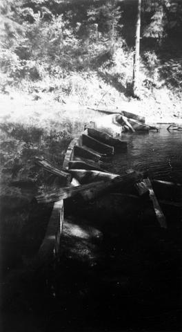
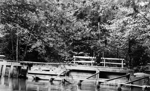
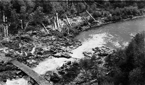
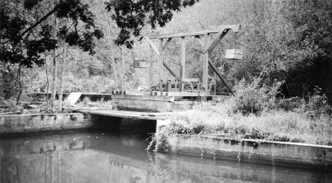
Citation -
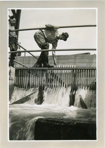
3. [Image] Lewiston Dam weir
-
4. [Image] Wallowa Lake dam
 Upstream face of control dam at outlet of Wallowa Lake Oregon
Citation -
5. [Image] East fishway and collecting pool
 Rock Island Dam
Citation -
6. [Image] Loading fish at central trap
 Rock Island Dam
Citation -
10. [Image] Union Gap rotary screens
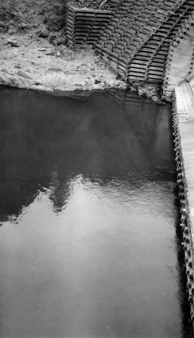
 Rotary screens on the Union Gap Ditch a short distance below the Rosa by-pass. Union Gap Diversion
Citation -
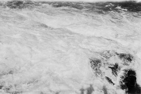
11. [Image] Chinooks jumping over middle rocks
 Rock Island Dam
Citation -
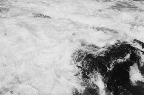
12. [Image] Chinook on rock
 Chinook on rock left of middle ladder at the Rock Island Dam
Citation -
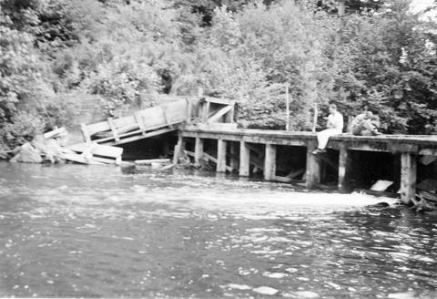
13. [Image] Abandoned dam
 Abandoned dam on the Coast Fork Willamette River; 1938-06-20
Citation -
14. [Image] Dam near Cottage Grove
 Dam near Cottage Grove, Oregon, on the Coast Fork Willamette River;1938-06-20
Citation -
15. [Image] Dam on Roaring Creek
-
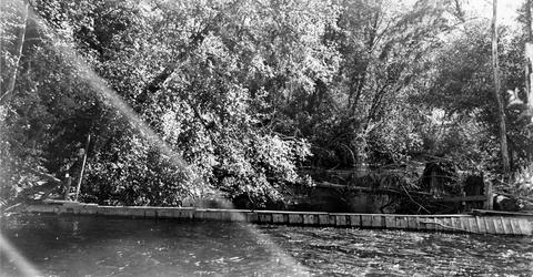
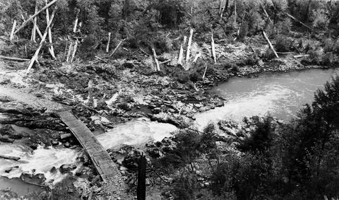
16. [Image] Obstruction on Coast Fork Willamette
 Obstruction on Coast Fork Willamette River Ladder has broken down;1938-06
Citation -
17. [Image] Salem Ditch dam
 Dam in Salem Ditch which is part of the North Santiam River system;1940-08-09
Citation -
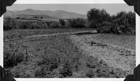
18. [Image] Dam site above Mayflower Creek
 Dam site above Mayflower Creek on the North Santiam River in Oregon; 1940-08-12
Citation -
19. [Image] Salmon entering elevator from brail
 Rock Island Dam left trap in the summer
Citation -
20. [Image] Dam site above Mayflower Creek
 Dam site above Mayflower Creek on the North Santiam River in Oregon; 1940-08-12
Citation -
21. [Image] Foot of Cazadero Dam
 Chinook salmon at foot of Cazadero Dam on Clackamas River; 1940-08-23
Citation -
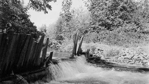
22. [Image] Mill Creek mill dam
 Mill Creek mill dam Mill Creek is a tributary to the Mohawk River;1938-06-20
Citation -
23. [Image] Chinook jumping
 Chinook jumping over middle rocks at the Rock Island Dam
Citation -
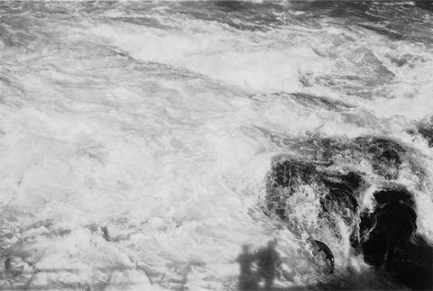
24. [Image] Chinook jumping rock
 Chinook jumping rock left of middle ladder at the Rock Island Dam
Citation -
25. [Image] Chinook jumping rock
 Chinook jumping rock left of middle ladder at the Rock Island Dam
Citation -
 Lower Benson Dam on Catherine Creek near US 30 bridge between Union and La Grande, Oregon. Photo shows low water barrier
Citation -
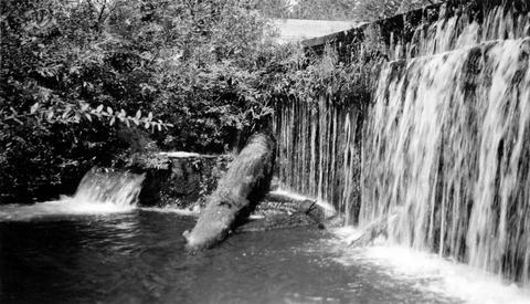
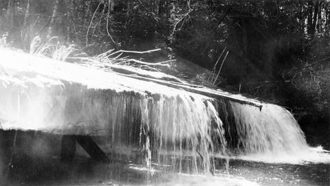
27. [Image] Cedar Creek Falls
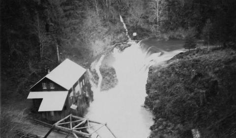 Birdseye view of Cedar Creek falls and small power developement
Citation -
28. [Image] Upstream view of Rosa Dam
 Upstream view of "grizzly" and ditch takeoff
Citation -
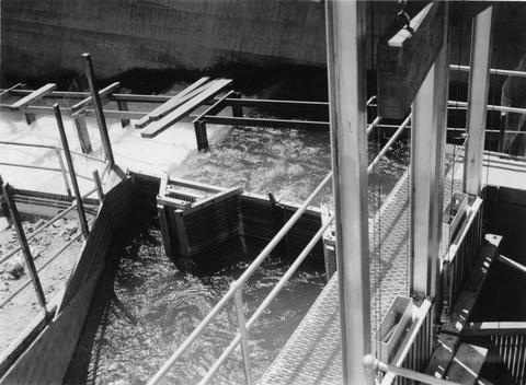
29. [Image] Fish ladder
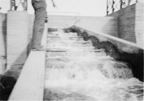 Clearwater dam ladder located near Lewiston, Idaho
Citation -
30. [Image] Diversion dam near Prineville, Oregon
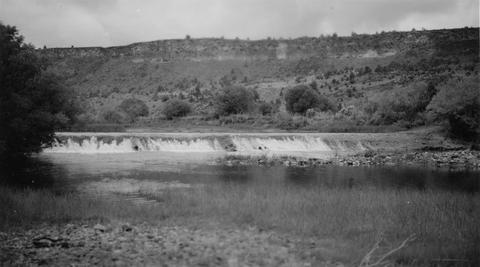 Crooked River diversion dam
Citation -
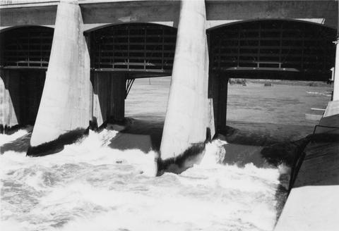
31. [Image] Spillway and dam on Clearwater River
 Lewiston Dam on the Clearwater River near Lewiston, Idaho
Citation -
32. [Image] Lewiston Dam ladder and spillway
 Washington Water Power dam on the Clearwater River in Idaho
Citation -
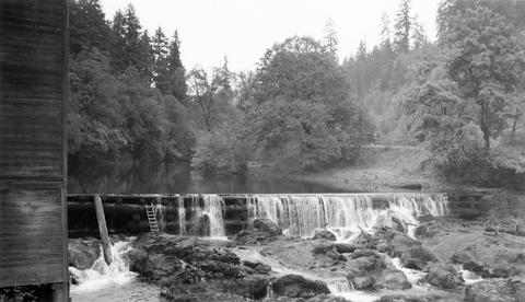
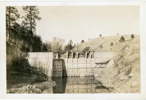
34. [Image] Upper concrete dam
 Upper concrete dam in South Santiam River 2 1/2 miles above Lebanon, Oregon The Lebanon power diversion takes off a short distance above this dam on the right side;1940-08-14 From Album 1 page 10
Citation -
35. [Image] Headgates of power ditch
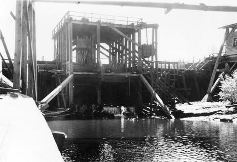
 Headgates of power ditch (shown faintly on left side of photo) taking off above Willamina Dam The dam is located on Willamina Creek, a tributary of the South Yamhill River, near Willamina, Oregon; 194...
Citation -
36. [Image] Sunnyside dam
 Sunnyside diversion dam showing central and south fish ladders. Sunnyside Project
Citation -
37. [Image] Central fish hoist and elevator
 Central fish hoist and elevator at Rock Island Dam
Citation -
38. [Image] Left fish trap
 Left (east) fish trap at Rock Island Dam
Citation -
39. [Image] Lamprey eels at the Bonneville Dam
 Lampreys are using a temporary fish ladder while the dam is under construction
Citation -
40. [Image] Finley Mill Dam
-
41. [Image] Rotary screens in Wapato Ditch
-
42. [Image] Catherine Creek diversion dam
 A wire-covered rock irrigation diversion dam on Catherine Creek. Diversion dam is 2100 yards above Little Catherine Creek confluence
Citation -
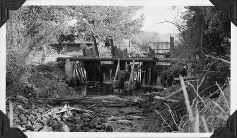
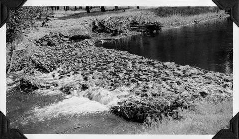
44. [Image] Mann Creek temporary diversion dam
 Temporary diversion dam on Mann Creek 1500 yards below US 95 bridge. This dam takes all the water which seeps through another dam 150 yards upstream. The low water is a barrier for fish
Citation -
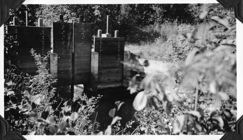
45. [Image] Fish screens, head-gates, & by-pass
-
46. [Image] Stayton power canal by-pass
 Stayton power canal by-pass; 1940-08-06
Citation -
48. [Image] Roll way at the Bonneville Dam
-
49. [Image] Catherine Creek diversion dam
 Diversion dam for flour mill at Union, Oregon
Citation