Search
You searched for:
Start Over
Historic stream surveys
Remove constraint Historic stream surveys
Subject
Dams
Remove constraint Subject: Dams
« Previous | 1 - 100 of 436 | Next »
Search Results
-
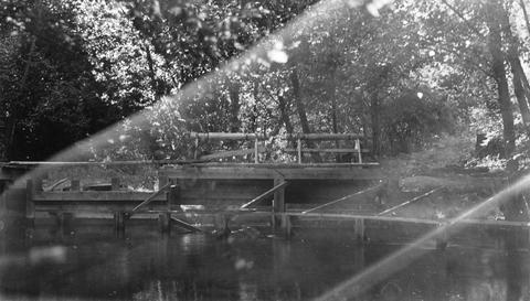
1. [Image] Sunbean Dam
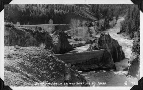 Sunbeam Dam on the Salmon River in Idaho, close to US 93
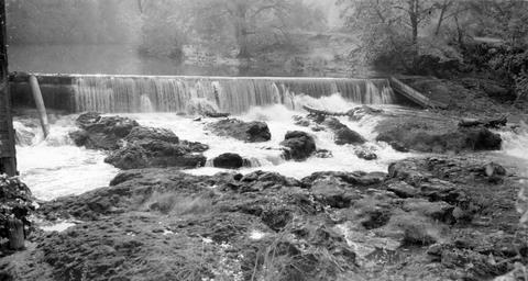
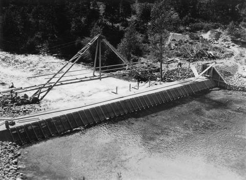
Citation -
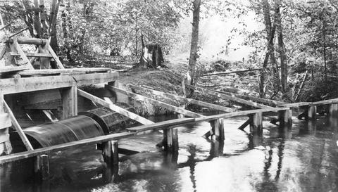
2. [Image] Sunbean Dam
 Upstream side of the Sunbeam Dam. Yankee Fork enters on left from beneath bridge
Citation -
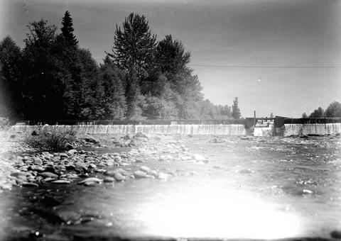
3. [Image] Marmot Dam on the Sandy River
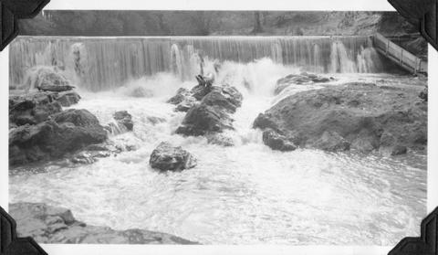
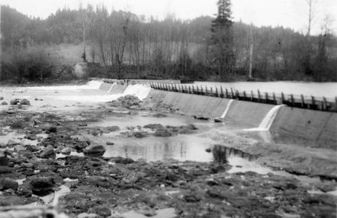
-
4. [Image] Entrance of fish ladder on Marmot Dam
-
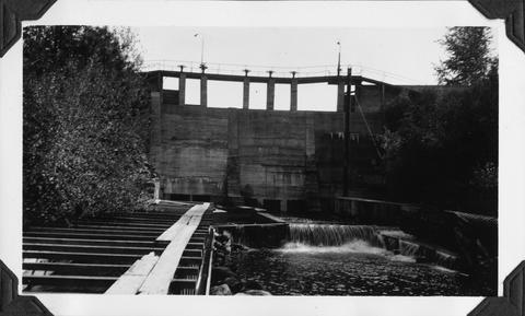
5. [Image] Marmot Dam on the Sandy River
-
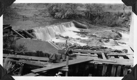
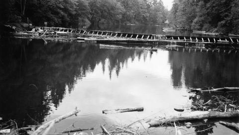
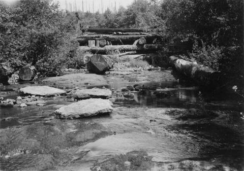
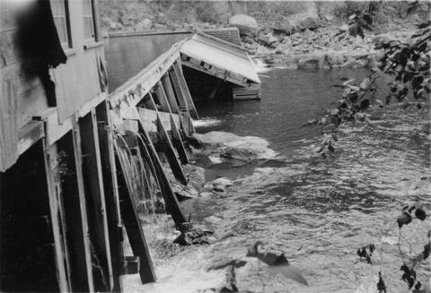
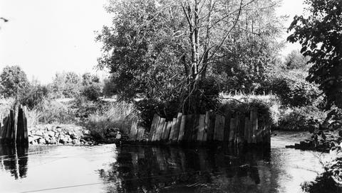
9. [Image] Abandoned dam
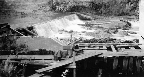
 Abandoned dam on the Coast Fork Willamette River; 1938-06-20
Citation -
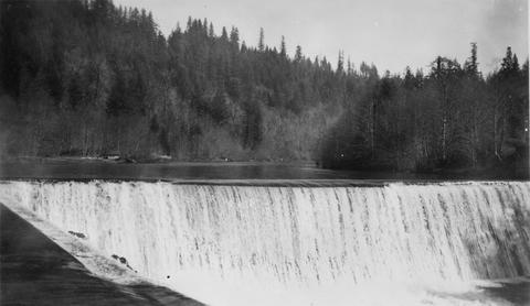
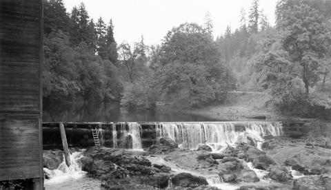
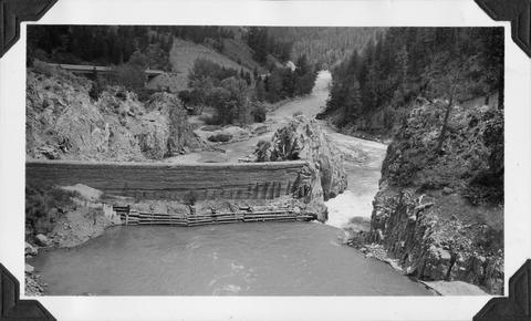
10. [Image] Cedar Creek Falls
 Birdseye view of Cedar Creek falls and small power developement
Citation -
11. [Image] Finley Mill Dam
-
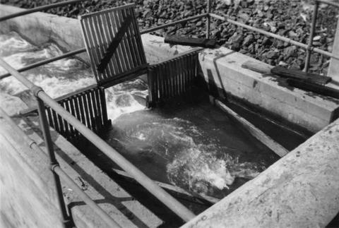
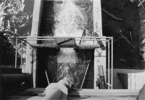
12. [Image] Fish screens, head-gates, & by-pass
-
13. [Image] Stayton power canal by-pass
 Stayton power canal by-pass; 1940-08-06
Citation -
14. [Image] Finley Feed Mill Dam
-
15. [Image] Dam and fish ladder
-
16. [Image] Dam on Milton Creek near St Helens, Oregon
-
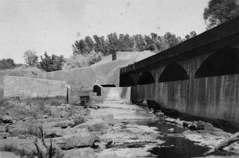
17. [Image] Dam and fishway
-
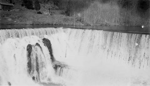
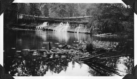
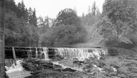
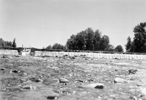
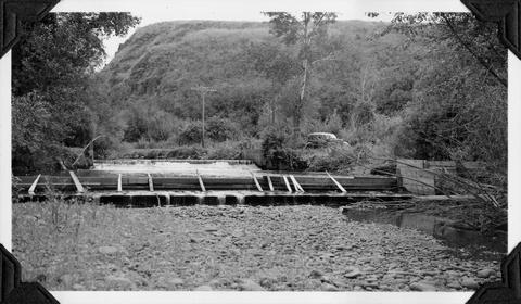
18. [Image] So Santiam River dam
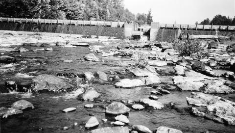
 South Santiam River Dam near Lebanon, Oregon;1938
Citation -
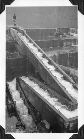
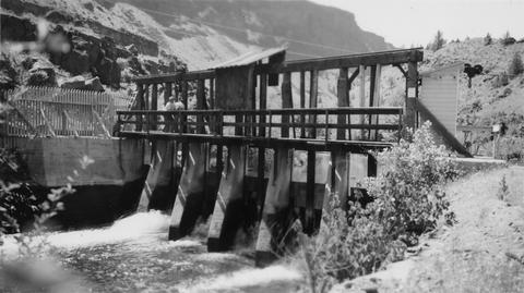
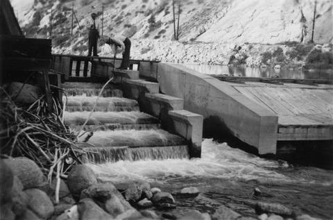
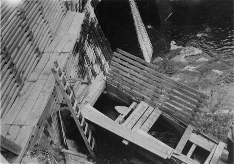
20. [Image] Fish ladder
-
21. [Image] Lebanon Dam
 Lebanon Dam on the South Santiam River with fish ladder
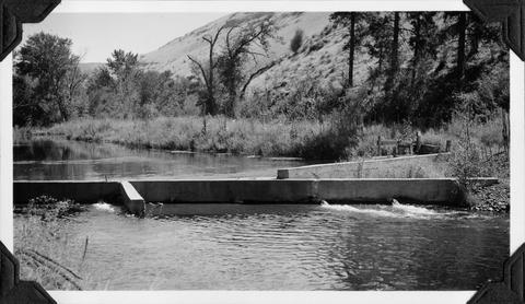
Citation -
22. [Image] Fish ladder without water
-
23. [Image] Fish ladder
-
24. [Image] Dam and fishway
-
25. [Image] Finley feed mill dam
-
26. [Image] Finley feed mill dam
-
27. [Image] Oak Grove Fork
 Dam on the Oak Grove Fork of the Clackamas River Oregon;1938-06-28
Citation -
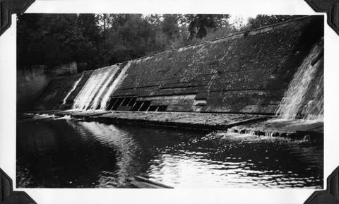
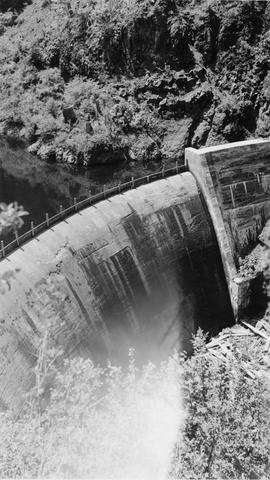
28. [Image] Concrete dam
-
29. [Image] Lebanon Dam
 Lebanon Dam on the South Santiam River, Oregon
Citation -
30. [Image] Headgates and screens
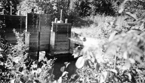
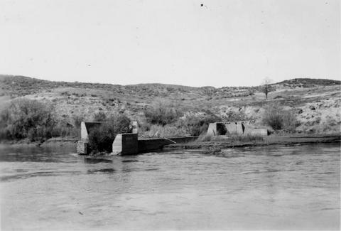
 West Stayton Ditch headgates and screens;1940-08-07
Citation -
31. [Image] Control gates
-
32. [Image] Fish ladder
-
33. [Image] Screens above headgates
 Screens above headgates in the West Stayton Ditch;1940-08-07
Citation -
34. [Image] Fishway and diversion flume
-
35. [Image] Concrete Dam
-
36. [Image] Fish screens, head-gates & by-pass
-
37. [Image] Stayton power canal by-pass
 Stayton power canal by-pass;1940-08-06
Citation -
38. [Image] Finley Feed Mill Dam
-
39. [Image] Dam on Mill Creek
-
40. [Image] Fish ladder with water
-
41. [Image] Dam on Mill Creek
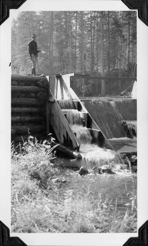
-
42. [Image] Elgin Dam and fish ladder
-
43. [Image] Dam and fish ladder
-
44. [Image] Elgin dam and fish ladder
-
45. [Image] Finley Mill Dam
-
46. [Image] Finley feed mill dam
-
47. [Image] Dam on Milk Creek
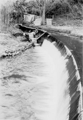
-
48. [Image] Dam & falls on Layng Creek
-
49. [Image] Lewiston Dam weir
-
50. [Image] Lewiston Dam weir
-
51. [Image] Catherine Creek diversion dam
 Diversion dam for flour mill at Union, Oregon
Citation -
52. [Image] Entiat weir under construction
-
53. [Image] Rock Island Dam power plant and gates
-
54. [Image] Rock Island dam central spillway
-
55. [Image] Dam at outlet of Wallowa Lake
-
56. [Image] Watre supply reservoir
 Upper dam in Union, Oregon, water supply reservoir
Citation -
57. [Image] Rock Island dam power plant and gates
-
58. [Image] Wapato Dam
-
59. [Image] Rosa Dam Fish Ladder
-
60. [Image] Dam at outlet of Wallowa Lake
-
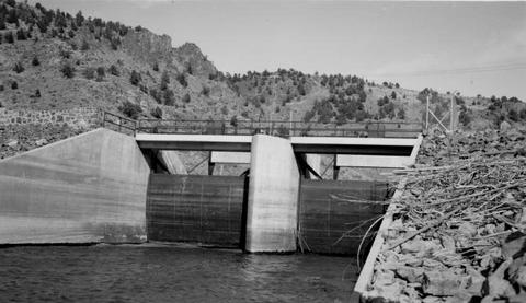
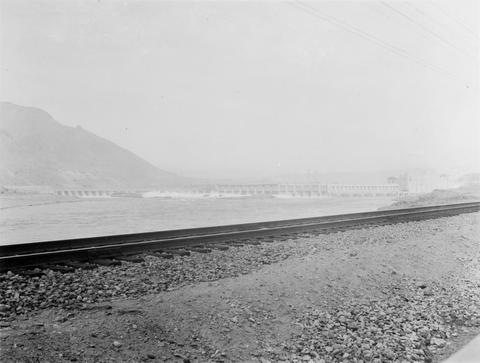
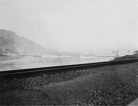
61. [Image] Rock Island Dam
 Rock Island Dam on the Columbia River
Citation -
62. [Image] Rock Island Dam
 Rock Island Dam on the Columbia River
Citation -
63. [Image] Rock Island Dam
 Rock Island Dam on the Columbia River
Citation -
64. [Image] Mill dam on the Little Washougal River
-
65. [Image] Fish ladder
 Fish ladder on the Washougal River upper dam
Citation -
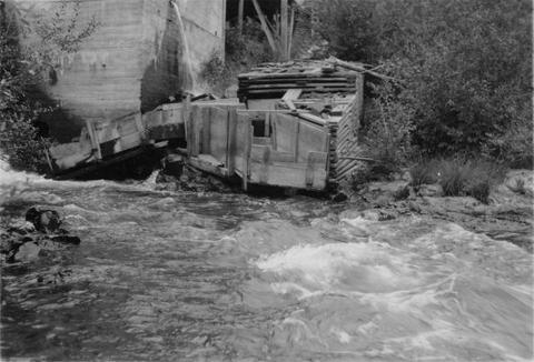
66. [Image] 9 mile dam on the Walla Walla River
 Dam has been blasted out.
Citation -
67. [Image] Bonneville Dam
-
68. [Image] Headgates to Cove power canal
-
69. [Image] Old dam on Grays River
-
70. [Image] Central spillway at the Rock Island Dam
-
71. [Image] Big Sandy channel diversion dam
-
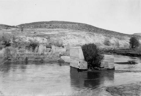
72. [Image] Big Sandy channel dam
-
73. [Image] Big Sandy channel dam
-
74. [Image] Washington Water Power dam and ladder
-
75. [Image] Lewiston Dam weir
-
76. [Image] 9 mile dam on the Walla Walla River
 Dam has been blasted out.
Citation -
77. [Image] Unity Dam on Burnt River
-
78. [Image] Dam and fish ladder Asotin Creek
-
79. [Image] Lower dam on the Washougal River
-
80. [Image] Upper dam on the Washougal River
-
81. [Image] Fish ladder
 Fish ladder on the Washougal River upper dam
Citation -
82. [Image] Fish ladder
 Fish ladder on the Washougal River upper dam
Citation -
83. [Image] Washougal River power dam
 Washougal River power dam showing the downstream front view
Citation -
84. [Image] Upper dam on the Washougal River
-
85. [Image] Burlingame Dam
-
86. [Image] Lower dam on the Washougal River
-
87. [Image] Washougal River downstream power dam
 Power dam with a fish ladder on the side
Citation -
88. [Image] Site of new irrigation dam on Mann Creek
-
89. [Image] Site of new irrigation dam on Mann Creek
-
90. [Image] Site of new irrigation dam on Mann Creek
-
91. [Image] Lewiston Dam weir
-
92. [Image] Unity Dam on Burnt River, Oregon
-
93. [Image] Lewiston Dam weir
-
94. [Image] Dam and fish ladder on Asotin Creek
-
95. [Image] Lewiston Dam weir
-
96. [Image] Men looking at fish ladder
-
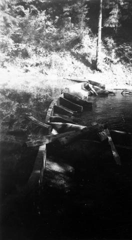
97. [Image] Base of Dam low water area
-
98. [Image] Elaborate fish ladder near dam
 Unidentified dam area
Citation -
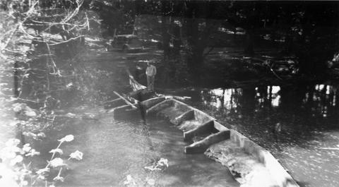
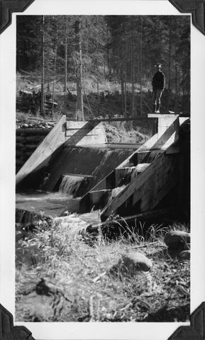
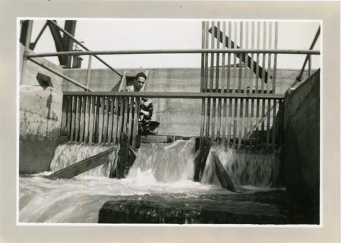
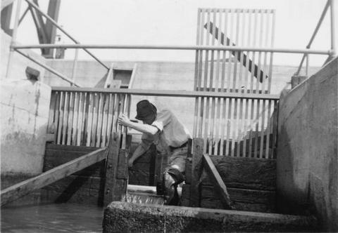
99. [Image] Man standing above fish ladder
 Unidentified man and dam area
Citation -
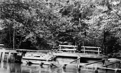
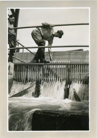
100. [Image] Men standing above fish ladder
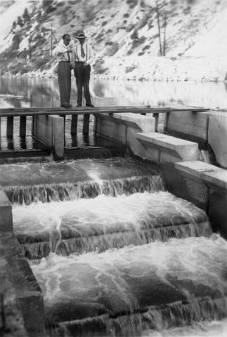 Unidentified men and dam area
Citation