Search
You searched for:
Start Over
Dams
Remove constraint Dams
Subject
Dams
Remove constraint Subject: Dams
« Previous | 1 - 100 of 1,350 | Next »
Search Results
-
1. [Image] Sunbean Dam
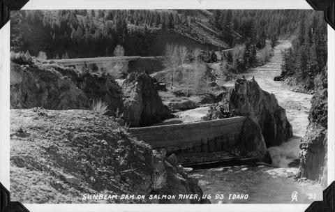 Sunbeam Dam on the Salmon River in Idaho, close to US 93
Citation -
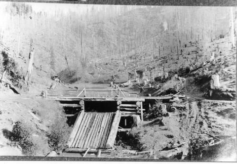
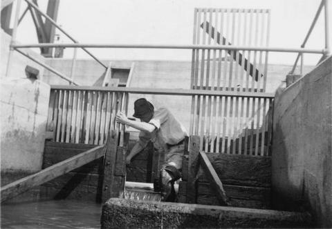
KP-1964-Klamath Project. Gerber Dam. Miller Creek, walk bridge, and two-thirds of dam; June 6, 1950; Photo by Andrew M. Bergloff
Citation -
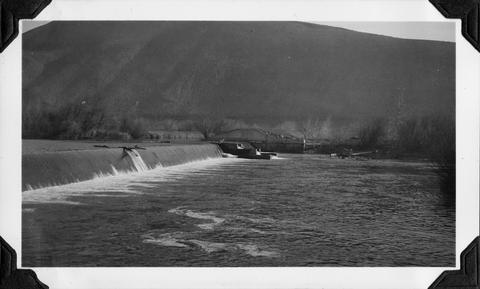
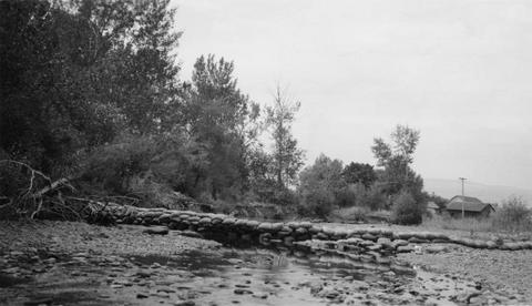
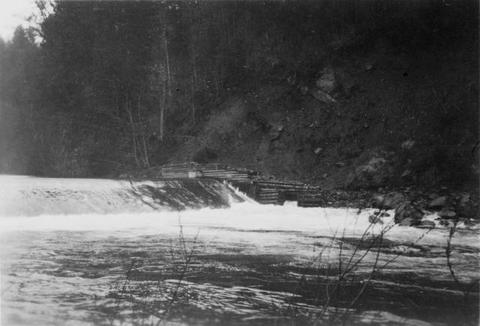
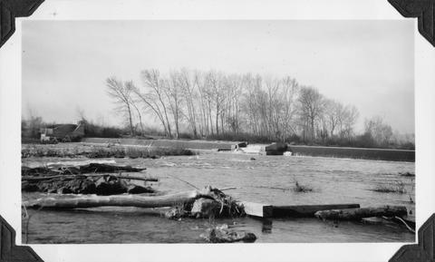
3. [Image] Mann Creek temporary diversion dam
 Temporary diversion dam on Mann Creek 1300 yards below US 95 bridge. The dam takes all water, approximately 1 cubic foot per second, which seeps through dam Another dam, 150 yards below, diverts the ...
Citation -
KP-1969-Klamath Project. Lower Lost River Diversion Dam. The picture shows the north wingwall of dam protecting the J-Canal Diversion Channel, also showing outlet of dam. Smith Ketchum and Luke McAnulty ...
Citation -
5. [Image] CLEAR LAKE DAM - Clear Lake Dam spillway
KP-2372-R2 - Klamath Project --CLEAR LAKE DAM. Looking west from dam showing spillway and building for attendant. (Attendant service discontined in 1954); December 1956; Photo by L. McAnultyCitation -
KP-2575-R2-Klamath Project - MALONE DAM, LANGELL VALLEY - Left wall footing on stilling pool at dam. View shows small pocket that has eroded away during years of service; December 23, 1960; Photo by L. ...
Citation -
KP-2576-R2-Klamath Project - MALONE DAM, LANGELL VALLEY - General view looking upstream at stilling basin at dam; December 23, 1960; Photo by L. MacAnulty
Citation -
KP-2577-R2-Klamath Project - MALONE DAM, LANGELL VALLEY - View of base of center pier and foundation of dam, showing erosion under left side of pier; December, 23, 1960; Photo by L. MacAnulty
Citation -
9. [Image] Salmon and Bonneville Dam
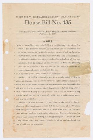 1. Bill introduced regarding commercial fishing near the Bonneville Dam and on Columbia River tributaries east of the Deschutes River; 2. Article in an issue of the Business Survey of the Portland Area ...
Citation -
10. [Image] Clear Lake Dam - View up-stream [sic] from dam
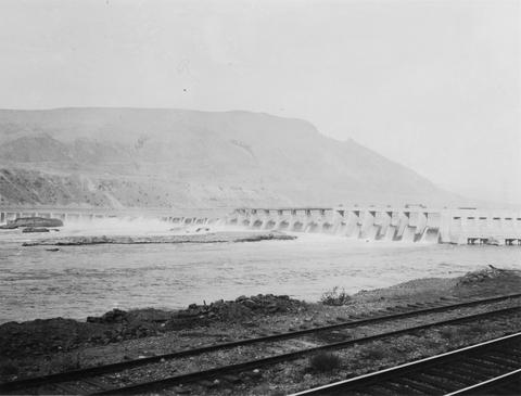
October 25, 1909; #66; Brt. Blue Album 1 through 84 (Clear Lake Dam)Citation -
December 17, 1909; #80; Brt. Blue Album 1 through 84 (Clear Lake Dam)
Citation -
12. [Image] Lower Lost River Diversion Dam - Picture shows face of dam, debris, and undercut of apron
KP-1970-Klamath Project. Lower Lost River Diversion Dam. Sacramento USBR inspecting party, inspecting; June 8, 1950; Photo by Andrew M. BergloffCitation -
13. [Image] Gerber Dam - Channel below dam
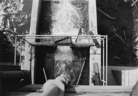
KP-2245-R2 - Klamath Project--Gerber Dam. Discharge 179 c.f.s.; May 26, 1954; Photo by C. O. WamstadCitation -
14. [Image] Wickiup Dam construction on the Deschutes River
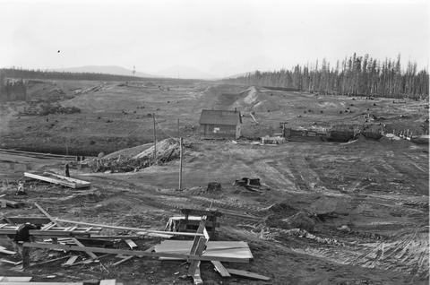 Photo is looking north across the main dam construction toward the diked area.
Citation -
15. [Image] Mann Creek temporary diversion dam
 Temporary diversion dam on Mann Creek 1500 yards below US 95 bridge. This dam takes all the water which seeps through another dam 150 yards upstream. The low water is a barrier for fish
Citation -
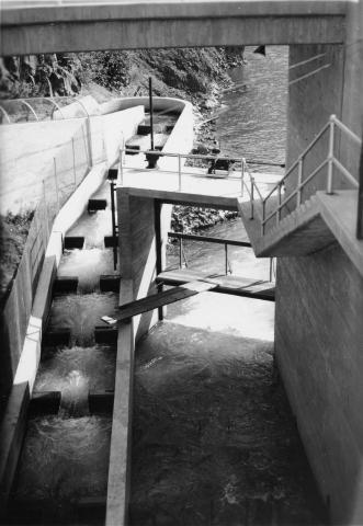
16. [Image] Wapato project dam
 Main dam and central fish ladder at the Wapato project dam
Citation -
17. [Image] Wapato project dam
 Main dam and central fish ladder at the Wapato project dam
Citation -
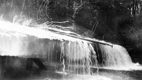
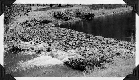
18. [Image] Mann Creek dam and diversion
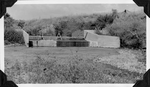 Dam and diversion on Mann Creek just above the Harold Beecher dam. About 1 cubic foot per second is escaping under flash boards. Pool above dam is heavily covered with algae. It is a low water barrier ...
Citation -
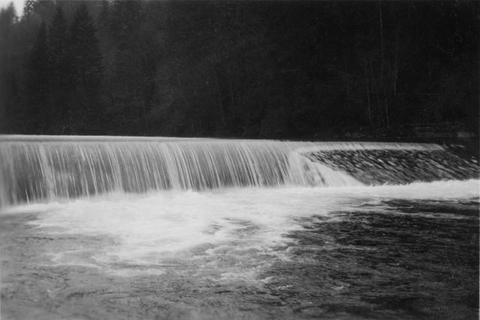
19. [Image] Cazadero Dam
 Cazadero Dam, now known as Faraday Dam, on Clackamas River, 70 feet with no ladder; 1938-06-28
Citation -
20. [Image] Mann Creek dam and diversion
 Dam and diversion on Mann Creek just above the Harold Beecher dam. About 1 cubic foot per second is escaping under flash boards. Pool above dam is heavily covered with algae. It is a low water barrier ...
Citation -
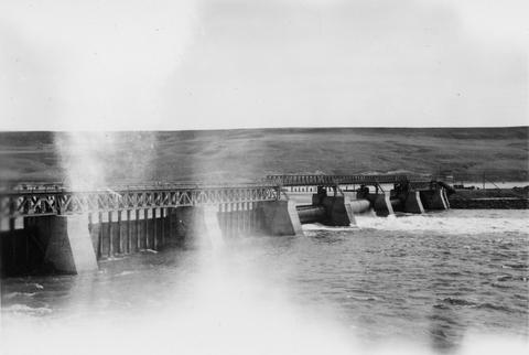
21. [Image] Power diversion dam across Grande Ronde River
 Grande Ronde River with power diversion dam completely across the river. It is a barrier for fish at low water when only seepage escapes downstream. Dam is located between La Grande and Island City, Oregon ...
Citation -
22. [Image] Lewiston Dam
 Lewiston Dam on the Clearwater River. Washington Water Power Company dam
Citation -
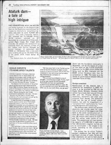
23. [Image] Ataturk Dam - A Tale of High Intrigue
-
24. [Article] The design of gravity masonry dams
-
25. [Image] Lewiston Dam weir
-
26. [Image] Lewiston Dam weir
-
27. [Image] Al Wehdah (Unity) Dam (Formerly Magarin Dam)
-
28. [Image] Credit Deal Done for Ataturk Dam
-
30. [Image] Abandoned dam
 Abandoned dam on the Coast Fork Willamette River; 1938-06-20
Citation -
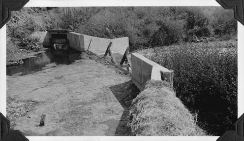
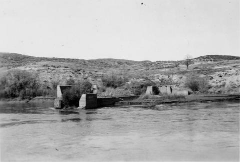
31. [Image] Catherine Creek diversion dam
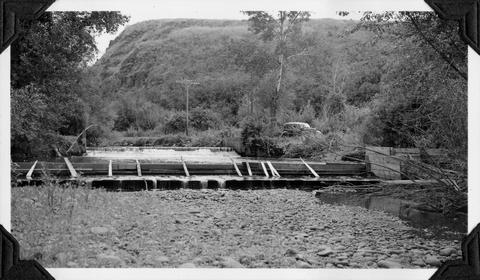 Diversion dam for flour mill at Union, Oregon
Citation -
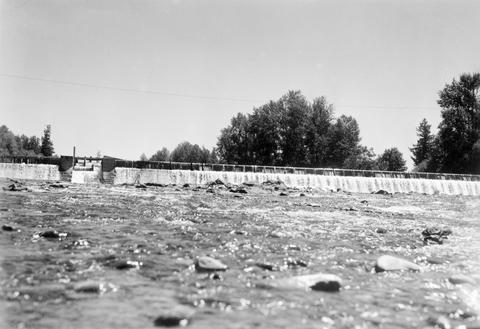
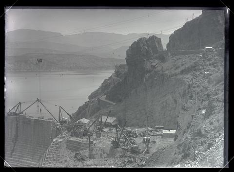
32. [Image] So Santiam River dam
 South Santiam River Dam near Lebanon, Oregon;1938
Citation -
33. [Image] Rock Island Dam
 Rock Island Dam on the Columbia River
Citation -
34. [Image] Rock Island Dam
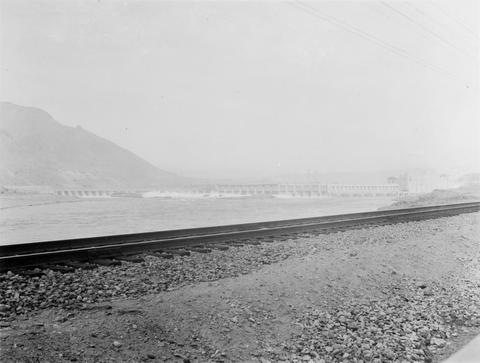 Rock Island Dam on the Columbia River
Citation -
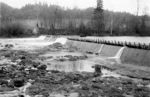
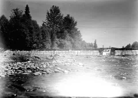
35. [Image] Rock Island Dam
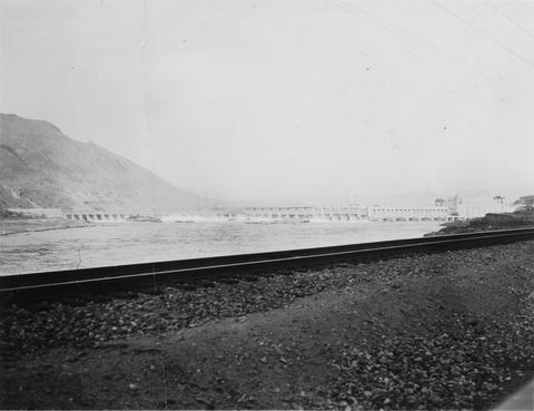 Rock Island Dam on the Columbia River
Citation -
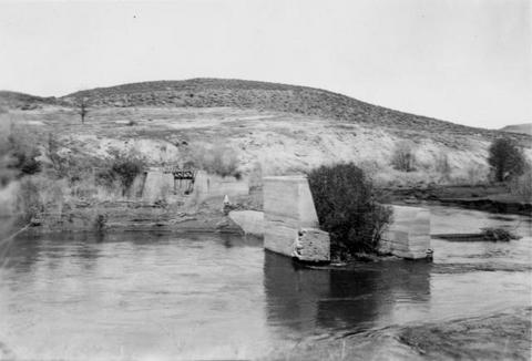
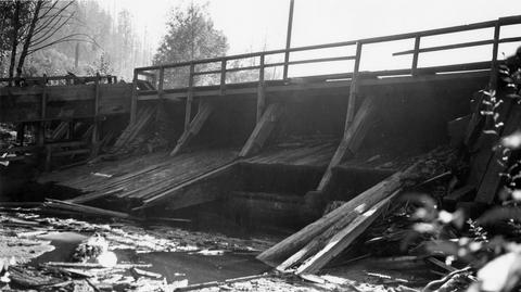
36. [Image] 9 mile dam on the Walla Walla River
 Dam has been blasted out.
Citation -
37. [Image] Lebanon Dam
 Lebanon Dam on the South Santiam River with fish ladder
Citation -
38. [Image] Lebanon Dam
 Lebanon Dam on the South Santiam River, Oregon
Citation -
39. [Image] Lewiston Dam weir
-
40. [Image] 9 mile dam on the Walla Walla River
 Dam has been blasted out.
Citation -
41. [Image] Washougal River power dam
 Washougal River power dam showing the downstream front view
Citation -
42. [Image] Burlingame Dam
-
43. [Image] Washougal River downstream power dam
 Power dam with a fish ladder on the side
Citation -
44. [Image] Lewiston Dam weir
-
45. [Image] Lewiston Dam weir
-
46. [Image] Lewiston Dam weir
-
47. [Image] Elaborate fish ladder near dam
 Unidentified dam area
Citation -
48. [Image] Rock Island Dam
 Rock Island Dam on the Columbia River
Citation -
49. [Image] Tumwater Dam on Wenatchee River
-
50. [Image] Rock Island Dam
 Rock Island Dam on the Columbia River
Citation -
51. [Image] Catherine Creek diversion dam
 Diversion dam for flour mill at Union, Oregon
Citation -
52. [Image] Lewiston Dam weir
-
53. [Image] Rock Island Dam
 Rock Island Dam on the Columbia River
Citation -
54. [Image] Filtration Screen of the Aswan Dam
-
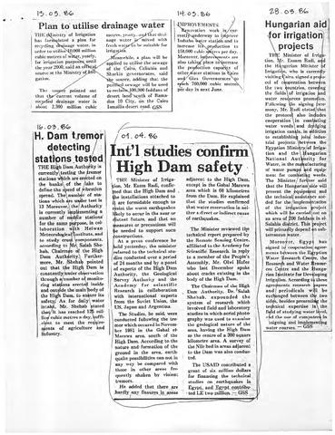
55. [Image] Int'l Studies Confirm High Dam Safety
-
56. [Image] Lower Lost River Dam
October 7, 1921Citation -
KP-2475-R2 Klamath Project - GERBER DAM. 142 c.f.s. flowing over crest; April 14, 1958; Photo by L. McAnulty
Citation -
KP-2476-R2 Klamath Project - GERBER DAM. 142 c.f.s. flowing over crest; April 14, 1958; Photo by L. McAnulty
Citation -
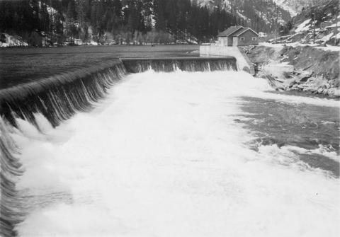
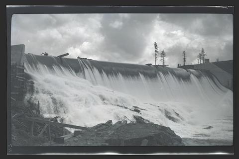
59. [Image] Gerber Dam - Looking across crest of spillway
KP-2468-R2 - KLAMATH PROJECT -- Gerber Dam. Looking across crest of spillway with water spilling for first time since dam was constructed; April 14, 1958; Photo by L. McAnultyCitation -
60. [Image] Boundary Dam - View of Malone Dam and Langell Valley, taken from talus slope over Area D and C
KP-1326-R2 - Klamath Project. Boundary Dam. Region II; February 21, 1947; Photo by Dorwin GriseCitation -
KP-1960 - Klamath Project; June 6, 1950; Photo by Andrew M. Bergloff
Citation -
KP-1961-Klamath Project; June 6, 1950; Photo by Andrew M. Bergloff.
Citation -
63. [Image] Gerber Dam
KP-2148-R2 - Klamath Project. Gerber Dam. Downstream face of dam as seen from right abutment, showing seepage from closure joint at far side of spillway; August 21, 1952; Photo by C. O. WamstadCitation -
64. [Image] Gerber Dam
KP-2132-R2 - Klamath Project. Gerber Dam. Upstream face of the dam; August 7, 1952; Photo by A. L. KramerCitation -
65. [Image] Link River Dam
No. 4 - Klamath Project. Link River Dam. Photo taken northerly of portion of the Dam. Shows new spillway and stilling basin as constructed in 1952. Photo shows 2800 cfs spill on Feb. 10 at time of photo. ...Citation -
66. [Image] Link River Dam
No. 6 - Klamath Project. Link River Dam. Photo taken southerly and downstream from the Dam. Shows portion of east wall of new spill section constructed. Spill of 1680 cfs at time of photo; February 4, ...Citation -
67. [Image] Gerber Dam
KP-2213-R2 - Klamath Project, Gerber Dam. View showing spalled condition of walkway on right abutment of dam. This is one season's accumulation of spall. California Projects; July 14, 1953; Photo by Donald ...Citation -
68. [Image] Gerber Dam - leaks from construction joints
KP-2215-R2 - Klamath Project, Gerber Dam. Downstream face of spillway showing leaks from construction joints and water flowing along downstream face of dam. California Projects; July 14, 1953; Photo by ...Citation -
69. [Image] Clear Lake Dam
KP-2218-R2 - Klamath Project, Clear Lake Dam. View of upstream face of dam. California Projects; July 15, 1953; Photo by Donald M. WestphalCitation -
70. [Image] Clear Lake Dam
KP-2219-R2 - Klamath Project, Clear Lake Dam. General view of downstream face of the dam. California Projects; July 15, 1953; Photo by Donald M. WestphalCitation -
71. [Image] Lower Lost River Diversion Dam
KP-2226-R2 - Klamath Project, Lower Lost River Diversion Dam. Downstream view of Dam. Utility house at left seems to have served its purpose. California Projects; July 15, 1953; Photo by Donald M. West...Citation -
72. [Image] Miller Creek Diversion Dam
KP-2229-R2 - Klamath Project, Miller Creek Diversion Dam. View of downstream face of dam. Note weathered concrete in canal intake structure wall. California Projects; July 14, 1953; Photo by Donald M. ...Citation -
73. [Image] Gerber Dam
KP-2242-R2 - Klamath Project--Gerber Dam. General downstream view showing old existing outlet channel along the face of dam; May 26, 1954; Photo by C. O. WamstadCitation -
74. [Image] Gerber Dam - Outlet Channel
KP-2243-R2 - Klamath Project--Gerber Dam. Outlet Channel where it had washed back against the face of the dam below the spillway; May 26, 1954; Photo by C. O. WamstadCitation -
KP-2247-R2 - Klamath Project--Gerber Dam. General view of gate house, pool and new channel constructed below dam; November 12, 1954; Photo by C. O. Wamstad
Citation -
76. [Image] Gerber Dam - General view of gate house and pool
KP-2248-R2 - Klamath Project--Gerber Dam. General view of gate house, looking into pool below valve house from top of dam; November 12, 1954; Photo by C. O. WamstadCitation -
77. [Image] Gerber Dam - Deepest part of pool
KP-2254-R2 - Klamath Project--Gerber Dam. Deepest part of pool below center part of spillway - about 4' deep. Shows no erosion of concrete on face of dam; November 12, 1954; Photo by C. O. WamstadCitation -
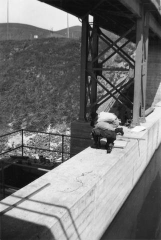
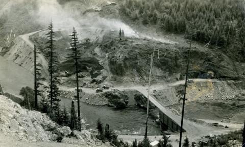
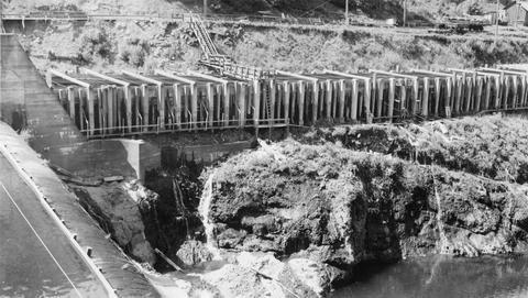
78. [Image] Detroit Dam construction
-
79. [Image] Detroit Dam construction site
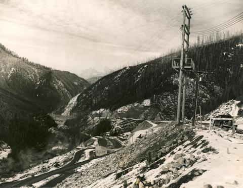 Photo shows the South Santiam River, Highway 22 and the Detroit Dam construction site.
Citation -
80. [Image] Detroit Dam, Oregon, 1949
-
82. [Image] Gold Ray Dam
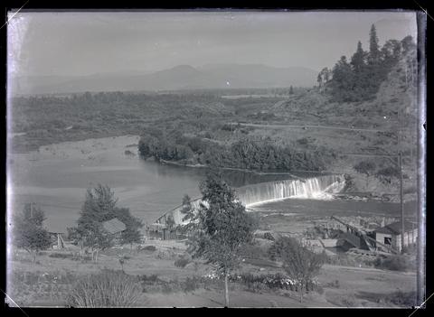 A view of the Gold Ray Dam on the Rogue River.
Citation -
84. [Image] Lookout Point Dam
 Lookout Point Dam, Willamette Valley.
Citation -
85. [Image] Roosevelt Dam
 View of construction on the south end of Roosevelt Dam.
Citation -
86. [Image] Roosevelt Dam
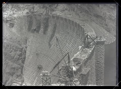 Concave surface of Roosevelt Dam. Viewed from the south end.
Citation -
87. [Image] Roosevelt Dam
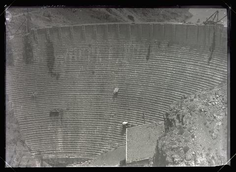 Concave surface of Roosevelt Dam. Image note: covering full plate.
Citation -
88. [Image] Roosevelt Dam
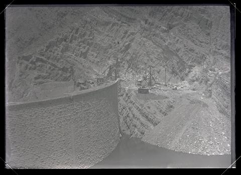 North end of the Roosevelt Dam.
Citation -
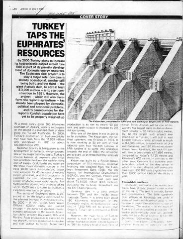
89. [Image] Turkey Taps the Euphrates' Resources
-
90. [Image] Cazadero Dam
 View of the spillway on Cazadero Dam taken during a Game Commission Trip.
Citation -
91. [Image] Foot of Cazadero Dam
 Chinook salmon at foot of Cazadero Dam on Clackamas River; 1940-08-23
Citation -
92. [Image] Spillway and dam on Clearwater River
 Lewiston Dam on the Clearwater River near Lewiston, Idaho
Citation -
93. [Image] Lewiston Dam ladder and spillway
 Washington Water Power dam on the Clearwater River in Idaho
Citation -
94. [Image] Upper concrete dam
 Upper concrete dam in South Santiam River 2 1/2 miles above Lebanon, Oregon The Lebanon power diversion takes off a short distance above this dam on the right side;1940-08-14 From Album 1 page 10
Citation -
95. [Image] Sunnyside dam
 Sunnyside diversion dam showing central and south fish ladders. Sunnyside Project
Citation -
96. [Image] Catherine Creek diversion dam
 A wire-covered rock irrigation diversion dam on Catherine Creek. Diversion dam is 2100 yards above Little Catherine Creek confluence
Citation -
97. [Image] Chinooks at Cazadero Dam
 Chinook salmon blocked at the foot of Cazadero Dam on the Clackamas River; 1940-08-23
Citation -
98. [Image] Lumber mill dam
 Lumber mill dam on Gales Creek, a tributary of the Tualatin River The Consolidated Lumber Company dam is located above the town of Glenwood; 1940-09-21
Citation -
99. [Image] Dividing dam
 Dividing dam on New Reservation ditch (Wapato Project). Headgates are shown in the background
Citation -
100. [Image] Dividing dam
 Dividing dam on New Reservation ditch (Wapato Project). Headgates are shown in the background
Citation