Search
You searched for:
Start Over
Historic stream surveys
Remove constraint Historic stream surveys
Subject
Dams
Remove constraint Subject: Dams
« Previous | 391 - 400 of 436 | Next »
Search Results
-
391. [Image] Salmon on counting board
 Salmon on counting board between brail and elevator at the Rock Island Dam
Citation -
392. [Image] Mesa dam and ditch take-off
 Mesa dam and ditch take-off on Middle Fork Weiser River, Idaho located about 7 miles by road above US 95. It is a low water barrier to fish. In a normal summer the river is dry from here to the mouth
Citation -
393. [Image] Mann Creek dam and diversion
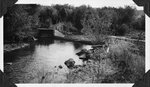 Irrigation dam and diversion just below the site for the new irrigation dam. Low water is a barrier to fish
Citation -
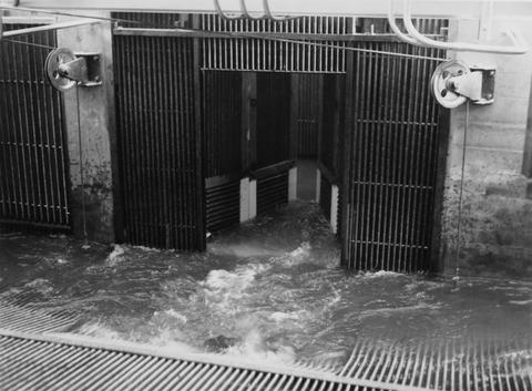
394. [Image] Loading fish truck at left trap
 Rock Island Dam during spring
Citation -
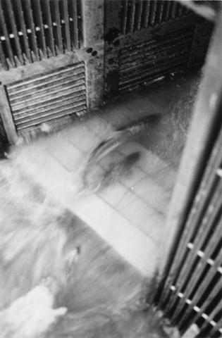
395. [Image] Salmon entering elevator from brail
 Rock Island Dam
Citation -
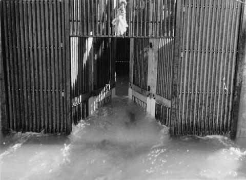
396. [Image] Salmon Trap with brail raised
 Rock Island Dam
Citation -
397. [Image] Bull Run diversion
 Portland water department Bull Run diversion
Citation -
398. [Image] Chinook jumping rock
 Chinook jumping rock left of middle ladder at the Rock Island Dam
Citation -
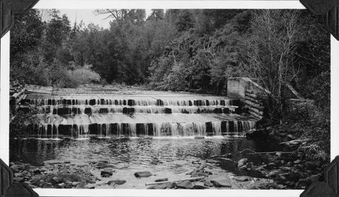
399. [Image] Black Canyon Dam
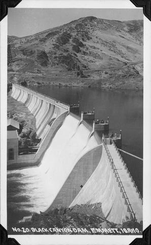 Black Canyon Dam near Emmett, Idaho
Citation -
400. [Image] Screens and headgates
 Screen and headgates on Middy ditch just beyond the Rosa ditch by-pass
Citation