Search
You searched for:
Start Over
Historic stream surveys
Remove constraint Historic stream surveys
Subject
Dams
Remove constraint Subject: Dams
« Previous | 381 - 390 of 436 | Next »
Search Results
-
381. [Image] Middy Ditch
 Upper screen on Middy Ditch, just below Rosa by pass. " Moxee Diversion"
Citation -
382. [Image] Dam on Indian Creek
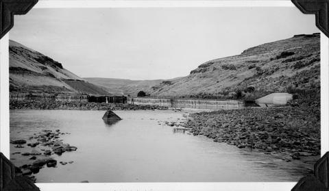
 Dam on Indian Creek forms water supply reservoir for city of Elgin, Oregon
Citation -
383. [Image] Separation of Moxee Ditch
 Separation of Moxee ditch into Ray Slavin (left) and Middy ditches . Moxee Diversion
Citation -
384. [Image] Screen in Middy Ditch
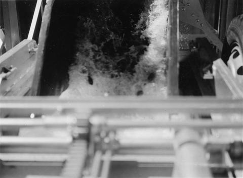
 Screens in Middy Ditch near the Union Gap screens. The Middy Ditch divides into 3 channels at this point, each with a rotary screen. Moxee Diversion
Citation -
385. [Image] Rotary screen and grizzly
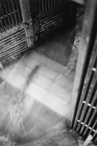
 Rotary Screen and "grizzly on Selah-Moxee ditch. Selah-Moxee Diversion
Citation -
386. [Image] Selah-Moxee Ditch screens and headgates
 Screens and lower headgates and by-pass on Selah-Moxee ditch. Selah-Moxee Diversion
Citation -
387. [Image] Filling fish truck
 Filling a fish truck at the east trap at Rock Island Dam
Citation -
388. [Image] Weiser River galloway dam
 Galloway dam across Weiser River above town of Weiser, Idaho
Citation -
389. [Image] Chinook jumping rock
 Chinook jumping rock left of middle ladder at the Rock Island Dam
Citation -
390. [Image] Salmon on counting board
 Salmon on counting board between brail and elevator at the Rock Island Dam
Citation