Search
You searched for:
Start Over
Land use history
Remove constraint Land use history
Author
unknown
Remove constraint Author: unknown
« Previous | 1 - 50 of 886 | Next »
Search Results
-
1. [Image] OIMB slide 4752
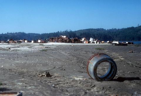 Hansen Landing with junk
Citation -
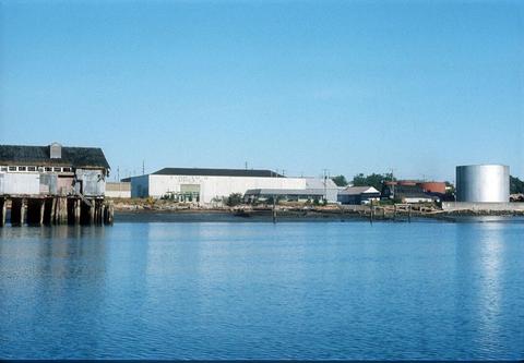
2. [Image] OIMB slide 4676
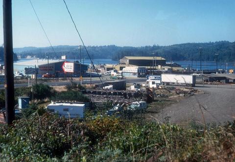 Hanson's Landing and Kelly Boat Works
Citation -
3. [Image] OIMB slide 4796
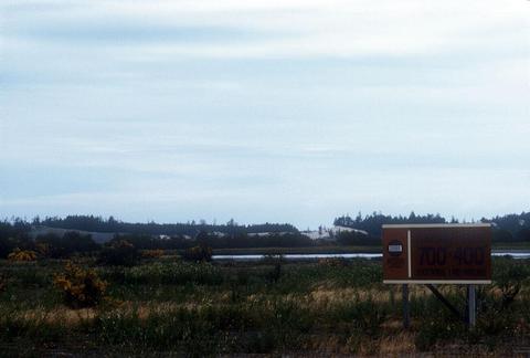 Pony Slough filled land up for sale 3 years after fill
Citation -
4. [Article] Woodlawn Neighborhood Plan Land Use Map
-
5. [Image] OIMB slide 5194
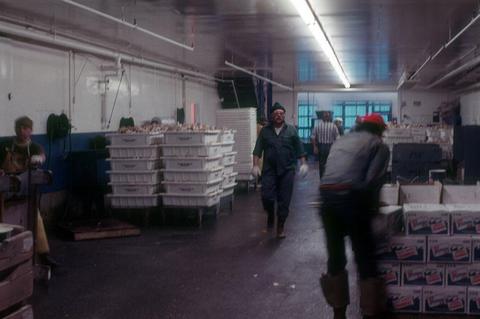 crab processing at Pacific Choice
Citation -
6. [Image] OIMB slide 5034
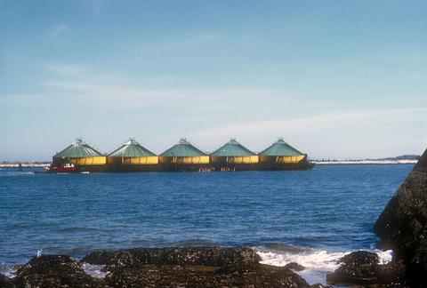 chip barge arriving
Citation -
7. [Image] OIMB slide 5033
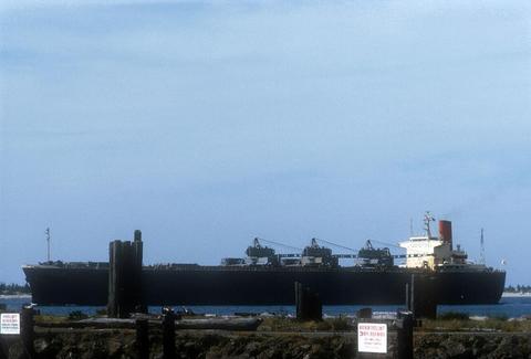 loaded Japanese freighter
Citation -
8. [Image] OIMB slide 5073
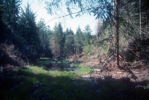
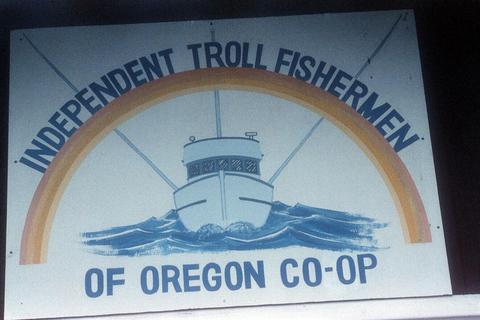 sign ""Independent Troll Fishermen of Oregon Coop""
Citation -
9. [Image] OIMB slide 5075
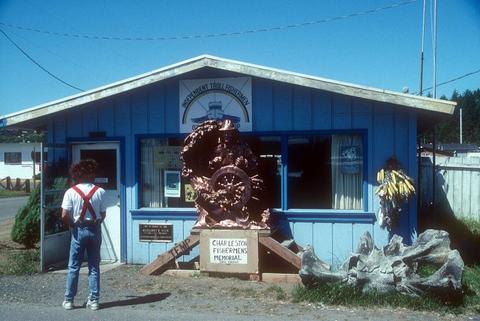 Independent Troll Fishermen of Oregon Coop with ""Lone Fisherman"" sculpture in front
Citation -
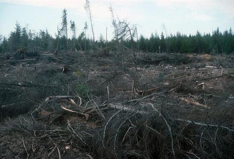
10. [Image] OIMB slide 4829
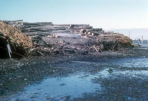
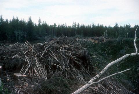 Recent logging and debris
Citation -
11. [Image] OIMB slide 4771
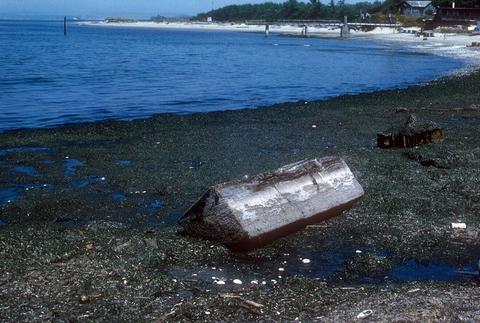
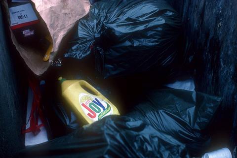 trash heap
Citation -
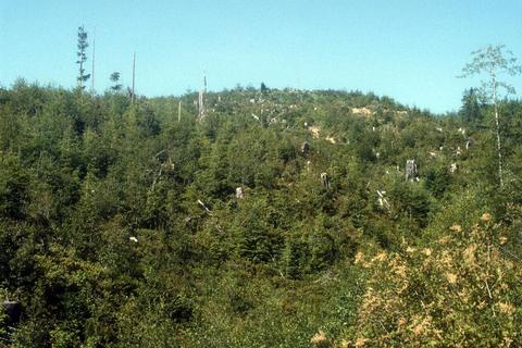
12. [Image] OIMB slide 4527
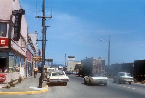 downtown
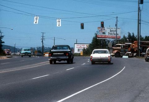
Citation -
13. [Image] OIMB slide 4525
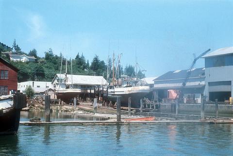 boatworks
Citation -
14. [Image] OIMB slide 4528
 bay front
Citation -
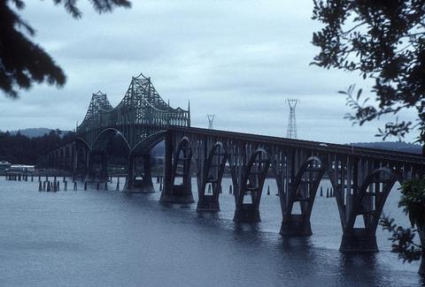
15. [Image] OIMB slide 4521
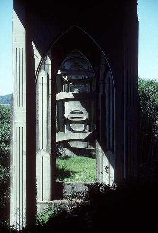 McCullough bridge view from underneath
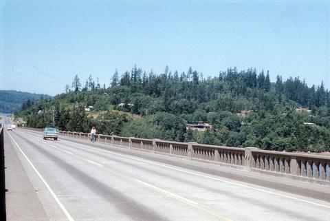
Citation -
16. [Image] OIMB slide 5117
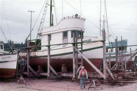 fishing boats in dry dock
Citation -
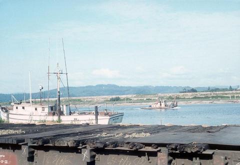
17. [Image] OIMB slide 5100
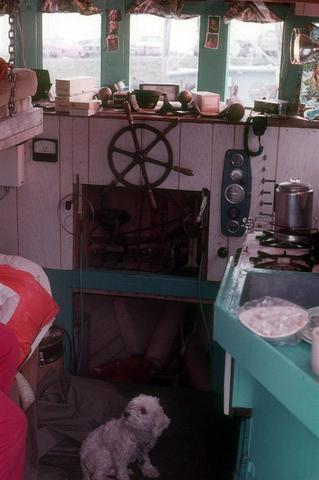 fishing boat interior
Citation -
18. [Image] OIMB slide 5200
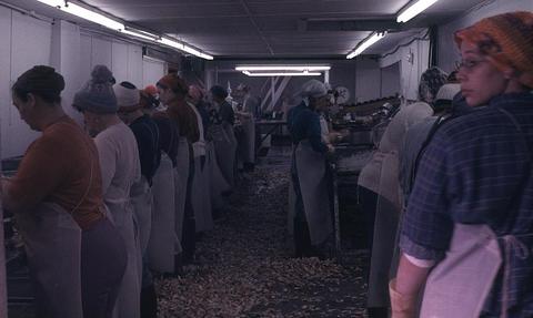 crab pickers at Pacific Choice
Citation -
19. [Image] OIMB slide 5017
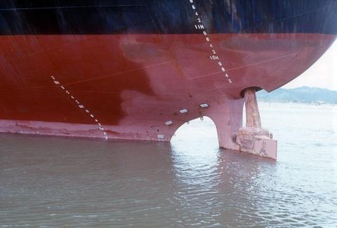 chip ship hull
Citation -
20. [Image] OIMB slide 4919
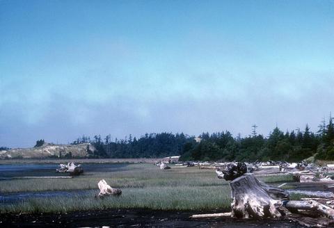 drifted stumps, logs and bark debris
Citation -
21. [Image] OIMB slide 5028
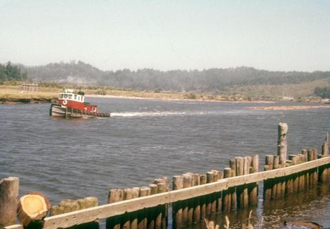 tugboat and log raft
Citation -
22. [Image] OIMB slide 4980
 Coos Head Pulp Mill - timber piles
Citation -
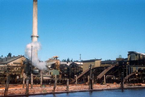
23. [Image] OIMB slide 4985
 Coos Head Pulp Mill - closed down in 1971
Citation -
24. [Image] OIMB slide 4453
 Illegal intertidal bulldozing
Citation -
25. [Image] OIMB slide 4584
 railroad tracks
Citation -
26. [Image] OIMB slide 4585
 docks and boat
Citation -
27. [Image] OIMB slide 4488
 waterfront scene
Citation -
28. [Image] OIMB slide 4491
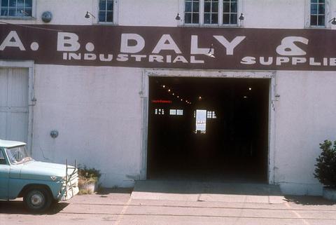 A. B. Daly Industrial Supplies building
Citation -
29. [Image] OIMB slide 5055
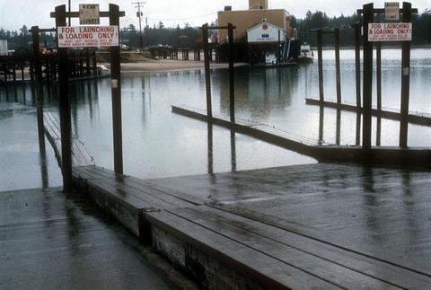 boat ramp
Citation -
30. [Image] OIMB slide 4781
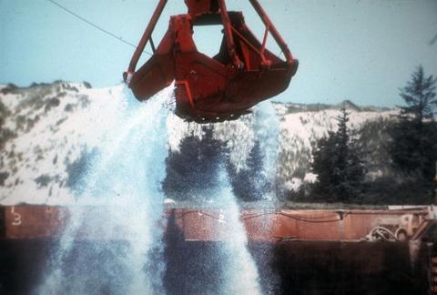 claw of dredge
Citation -
31. [Image] OIMB slide 4785
 West Pac dredge
Citation -
32. [Image] OIMB slide 4864
 regrowth from 1970's clear cut
Citation -
33. [Image] OIMB slide 4731
 septic tank outflow
Citation -
34. [Image] OIMB slide 4861
 slash and burn cloud over closed down saw mill
Citation -
35. [Image] OIMB slide 4445
 Inner boat basin
Citation -
36. [Image] OIMB slide 4451
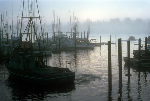 Boat basin at dawn
Citation -
37. [Image] OIMB slide 5142
 commercial fishing boats
Citation -
38. [Image] OIMB slide 5145
 commercial fishing boats
Citation -
39. [Image] OIMB slide 5144
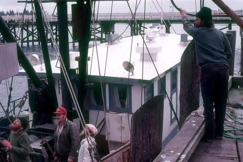 commercial fishing boat and fishermen
Citation -
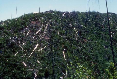
40. [Image] OIMB slide 4833
 erosion after logging steep hill
Citation -
41. [Image] OIMB slide 4933
 Weyerhauser
Citation -
42. [Image] OIMB slide 4828
 Recent logging and debris
Citation -
43. [Image] OIMB slide 4867
 newly built logging road
Citation -
44. [Image] OIMB slide 4866
 regrowth on logged hillside
Citation -
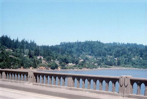
45. [Image] OIMB slide 4572
 Hwy 101
Citation -
46. [Image] OIMB slide 4524
 McCullough bridge
Citation -
47. [Image] OIMB slide 4529
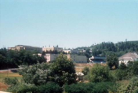 Marshfield highschool
Citation -
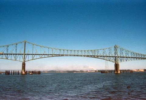
48. [Image] OIMB slide 4520
 McCullough bridge from Glasgow
Citation -
49. [Image] OIMB slide 4515
 looking toward Glasgow from Hwy 101
Citation -
50. [Image] OIMB slide 4516
 looking toward Glasgow from Hwy 101
Citation