Search
You searched for:
Start Over
Land use history
Remove constraint Land use history
Material Types
Image
Remove constraint Material Types: Image
« Previous | 181 - 190 of 3,178 | Next »
Search Results
-
181. [Image] Nitrogen and phosphorus loading from drained wetlands adjacent to Upper Klamath and Agency Lakes, Oregon
Two maps digitized separately; Includes bibliographical references (p. 44-49)Citation -
182. [Image] Klamath waterfowl mat stage a good comeback
 Manuscript that relays the struggle of farmers and land owners versus the Reclamation Services in respects to the lake beds in the Lower Klamath and Tule Lake areas. It was recognized that the drying of ...
Citation -
183. [Image] Natural flow of the upper Klamath River
Executive Summary Executive Summary This report presents details of the investigation and results in estimating the natural flow of the upper Klamath River at Keno, Oregon. The area investigated includes ...Citation -
184. [Image] Gerber-Willow Valley Watershed Analysis
x, 386 p., ill., maps (some col.); Cover title; "July 2003"Citation -
We, the U.S. Fish and Wildlife Service (Service), designate critical habitat for the Klamath River and Columbia River populations of bull trout {Salvelinus confluentus) pursuant to the Endangered Species ...
Citation -
186. [Image] Skyscrapers of New York
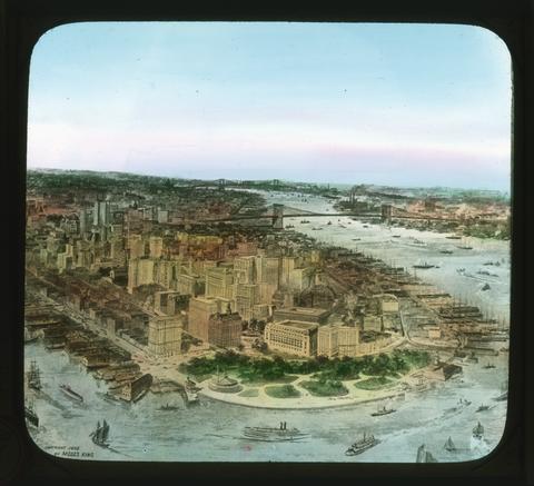 This picture shows the lower end of Manhattan Island. This is the business and financial center of New York city, and the office buildings are commonly known as skyscrapers because they are so high. The ...
Citation -
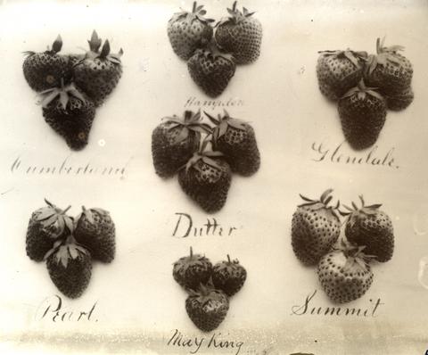
187. [Image] Strawberry varieties
-
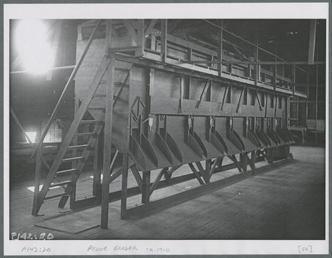
188. [Image] Prune grader, circa 1910
-
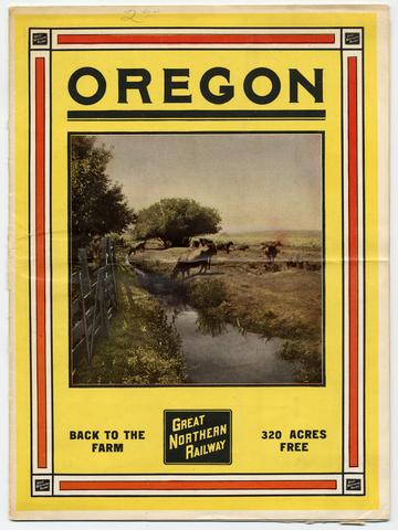
189. [Image] Oregon back to the farm publication cover
-
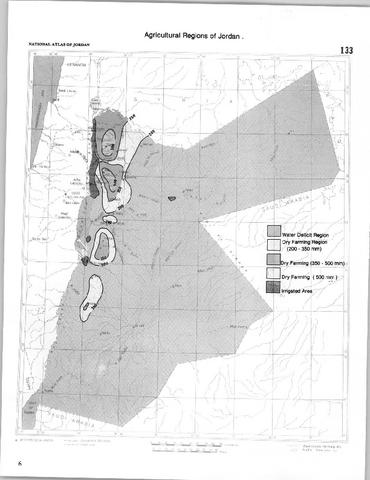
190. [Image] Interview, with land use map