Search
You searched for:
Start Over
Willamette Basin Stream Survey
Remove constraint Willamette Basin Stream Survey
Subject
Streams -- Oregon
Remove constraint Subject: Streams -- Oregon
Material Types
Image
Remove constraint Material Types: Image
« Previous | 41 - 49 of 49 | Next »
Search Results
-
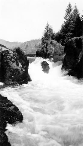
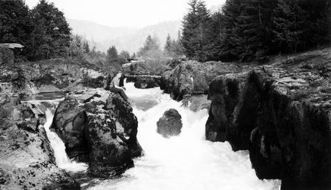
41. [Image] Beaver Creek falls
 Impassable falls on Beaver Creek. The falls are about 60 feet high
Citation -
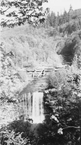
42. [Image] Wildwood Fallsre
 Wildwood Falls on Row River, tributary to Coast Fork Willamette River, Oregon;1938-05-28
Citation -
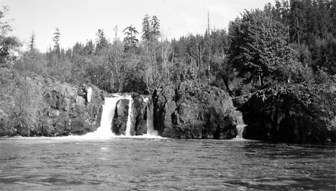
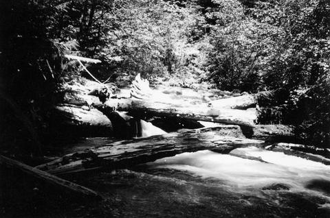
43. [Image] Row River falls
 Five foot falls on Row River, tributary of Coast Fork Willamette River The falls are passable at high water;1938-05-28
Citation -
44. [Image] Swift Creek
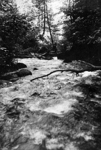 Swift Creek, tributary to Middle Fork Willamette River;1938-07
Citation -
45. [Image] Small storage dam
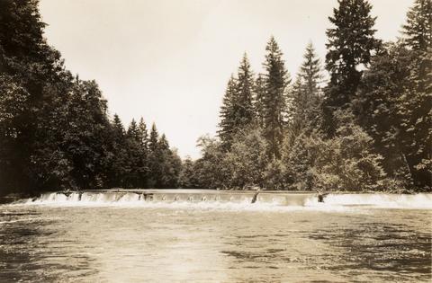 Small storage dam on the Tualatin River, located 3 miles above the mouth It is 3 feet high but the downstream apron makes passage difficult; 1937-06-24
Citation -
46. [Image] Swift Creek
 Swift Creek, tributary to Middle Fork Willamette River;1938-07
Citation -
47. [Image] South Santiam riffle
 Riffle on the South Santiam River about 2 1/2 miles below Crabtree Bridge All stones were heavily coated with brownish-green slime and persistent foam piled up in backwaters and floated down the river;Paper ...
Citation -
48. [Image] Small storage dam
 Small storage dam on the Tualatin River, located 3 miles above the mouth It is 3 feet high but the downstream apron makes passage difficult; 1937-06-24
Citation