Search
You searched for:
Start Over
Photos
Remove constraint Photos
Subject
Rivers--Oregon
Remove constraint Subject: Rivers--Oregon
« Previous | 21 - 25 of 25 | Next »
Search Results
-
21. [Image] Smith Rock with Mount Jefferson in background
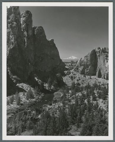 "Snow-capped Mt. Jefferson competes with multi-colored canyon walls cut by the Crooked River for the attention of photographers at Smith Rock in central Oregon. Smith Rock State Park, eight miles northeast ...
Citation -
22. [Image] Lower Columbia River near Astoria
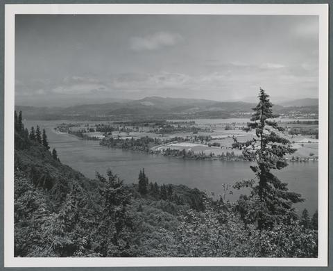 "Clatsop Crest and Bradley State Park on the Lower Columbia River east of Astoria, Oregon, present this view of the river and Puget Island. The viewpoint here looks in both directions along the river, ...
Citation -
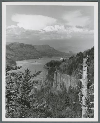 "The Columbia River, the 'Great River of the West,' flows through its spectacular gorge east of Portland, Oregon. Here, the Vista House on Crown Point 725 feet above Interstate Highway 84 is seen from ...
Citation -
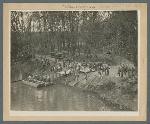 Military engineers, 1925. Building a standard pontoon bridge while on training manoeuvres. This photo appears to be a stock issue for publication in OAC yearbook or Oregon Stater, circa mid-1920s. Reprint ...
Citation -
25. [Image] Mount Jefferson and Metolius River
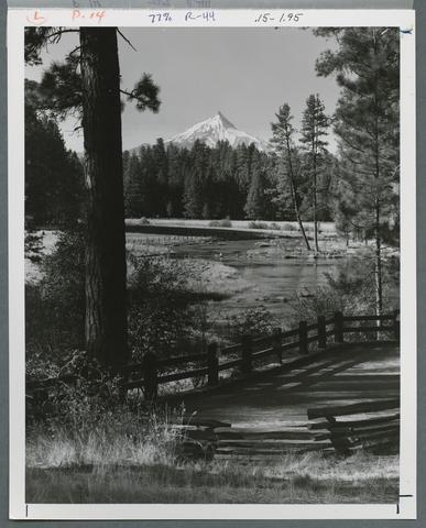 "Mt. Jefferson rises 10,495 feet beyond the Metolius River in Oregon's rugged central Cascade Mountains. The swift-moving Metolius, probably the coldest stream in the state, begins in the icy springs at ...
Citation