Search
You searched for:
Start Over
Photos
Remove constraint Photos
Subject
Reservoirs
Remove constraint Subject: Reservoirs
« Previous | 21 - 28 of 28 | Next »
Search Results
-
21. [Image] Gerber Watershed - Klamath Project, Oregon
CN-12-200-22A. Gerber Watershed - Klamath Project, Oregon. Earthfill dam and reservoir constructed by BLM across a draw in the NE1/4 of Sec. 10, T. 39 S., R. 14 E, W.M. Earth spillway is located at left ...Citation -
22. [Image] Gerber Watershed - Klamath Project, Oregon
CN-12-200-23A Gerber Watershed - Klamath Project, Oregon. Earthfill dam and spillway constructed by BLM across a draw in the NE1/4 of Sec. 10, T. 39 S., R. 14 E, W.M. This is another view of the reservoir ...Citation -
CN-12-200-28A Gerber Watershed - Klamath Project, Oregon - California. View of Round Valley Reservoir, looking southwest from top of dam. Note -- water has filled the approach channel to the outlet works. ...
Citation -
24. [Image] North end of Horse Fly reservoir
1904?Citation -
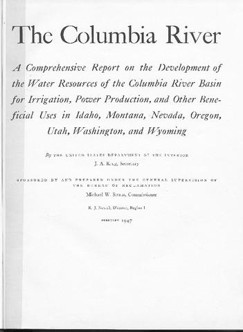
 399 p. Prepared by the U. S. Bureau of Reclamation, this document outlines a plan for the use of water and other physical resources of the Columbia River Basin. Presented in the report are descriptions ...
Citation -
 399 p. Prepared by the U. S. Bureau of Reclamation, this document outlines a plan for the use of water and other physical resources of the Columbia River Basin. Presented in the report are descriptions ...
Citation -
 399 p. Prepared by the U. S. Bureau of Reclamation, this document outlines a plan for the use of water and other physical resources of the Columbia River Basin. Presented in the report are descriptions ...
Citation -
 399 p. Prepared by the U. S. Bureau of Reclamation, this document outlines a plan for the use of water and other physical resources of the Columbia River Basin. Presented in the report are descriptions ...
Citation