Search
You searched for:
Start Over
Photos
Remove constraint Photos
Subject
Formations (Geology)
Remove constraint Subject: Formations (Geology)
« Previous | 11 - 20 of 27 | Next »
Search Results
-
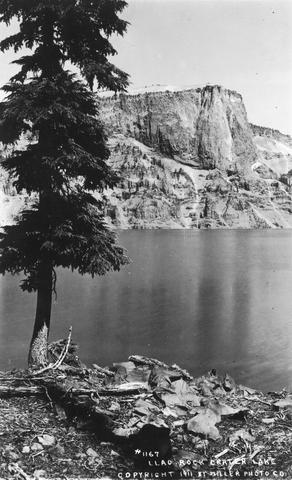
12. [Image] Llao Rock, Crater Lake, Oregon
-
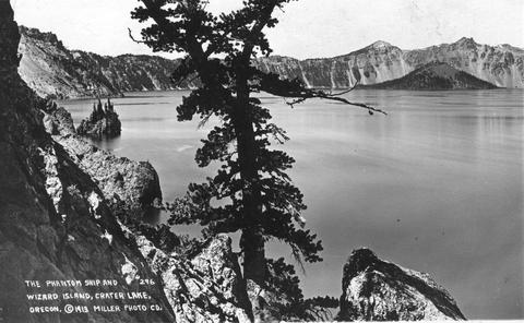
13. [Image] Llao Rock, Crater Lake, Oregon Postcard
-
14. [Image] Hoodoo Butte, Hayrack Butte, Three Fingered Jack, and Big Lake from the Pacific Crest National Scenic Trail
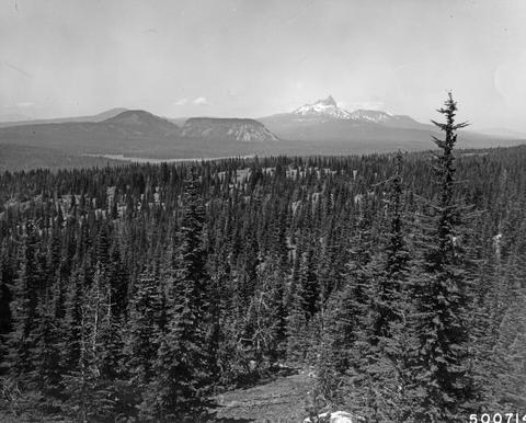 Forest Service photo #500714.
Citation -
15. [Image] Smith Rock
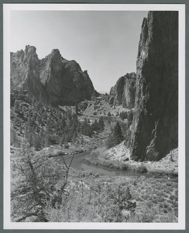 "Cliffs soar 300 feet high at Smith Rock in central Oregon, where the Crooked River has cut a narrow canyon through colorful sedimentary rock. Smith Rock State Park, eight miles northeast of Redmond, offers ...
Citation -
16. [Image] Smith Rock with Mount Jefferson in background
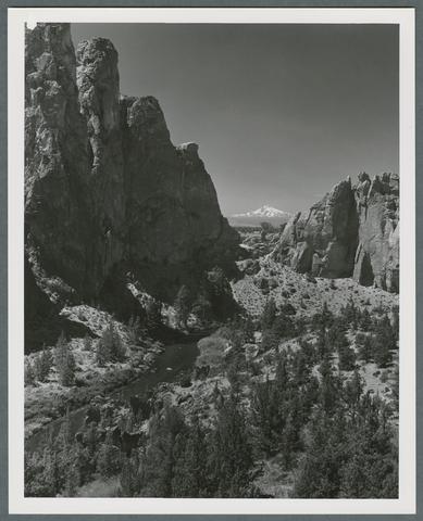 "Snow-capped Mt. Jefferson competes with multi-colored canyon walls cut by the Crooked River for the attention of photographers at Smith Rock in central Oregon. Smith Rock State Park, eight miles northeast ...
Citation -
17. [Image] Beach south of Cannon Beach
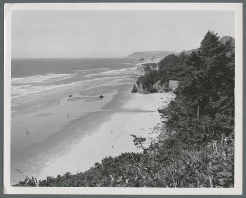 "'The perfect beach' is a description used by many visitors to the northern Oregon coast, and the phrase applies to almost every beach along the state's 400 mile coastline. The beach shown here is several ...
Citation -
18. [Image] Beach south of Cannon Beach
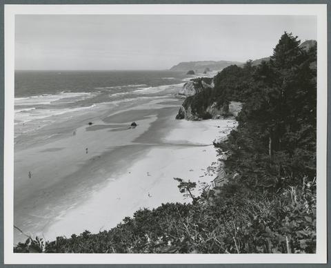 "'The perfect beach' is a description used by many visitors to the northern Oregon coast, and the phrase applies to almost every beach along the state's 400 mile coastline. The beach shown here is several ...
Citation -
19. [Image] Heceta Head Lighthouse
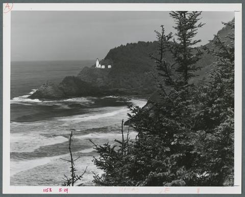 "Heceta Head Lighthouse is one of seven lighthouses along the Oregon coast. The lighthouse is a part of 117-acre Devil's Elbow State Park, 13 miles north of Florence on U.S. Highway 101. It was erected ...
Citation -
20. [Image] Beach south of Bandon
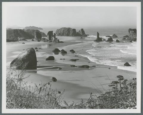 "This photogenic beach is accessible at Bandon Ocean Wayside, about one-half mile south of Bandon, Oregon off U.S. Highway 101. Many of the rocks offshore, such as the "Face in the Rock," resemble the ...
Citation