Search
You searched for:
Start Over
Dams
Remove constraint Dams
Subject
Dams
Remove constraint Subject: Dams
Material Types
Image
Remove constraint Material Types: Image
« Previous | 1,331 - 1,339 of 1,339 | Next »
Search Results
-
1331. [Image] BOLES MEADOW DAMSITE
KP-2521-R2-Klamath Project -- BOLES MEADOW DAMSITE. View looking north across Boles Creek from south abutment of damsite; August 5, 1959; Photo by K.J.GreeneCitation -
KP-2522-R2-Klamath Project -- BARNES VALLEY DAMSITE Section 15, T. 39 S., R. 15 E., W.M. View from south abutment looking towards north abutment; September 2, 1959; Photo by K.J. Greene
Citation -
1333. [Image] BARNES VALLEY DAMSITE
KP-2524-R2-Klamath Project -- BARNES VALLEY DAMSITE. View looking to southeast to reservoir from point about one mile northeast of dimesite; September 2, 1959; Photo by K.J.GreeneCitation -
1334. [Image] BARNES VALLEY DAMSITE
KP-2525-R2-Klamath Project -- BARNES VALLEY DAMSITE. View looking upstream towards axis of siteCitation -
1335. [Image] Main Canal headgates, rear view
December 25, 1906; Originally #79 of a series of eighty seven photos; Photo by D.W.M. (may be initials of the Klamath Project engineer D.W. Murphy)Citation -
1336. [Image] Lost River Diversion Channel Enlargement
KP-2 - Klamath Project. Lost River Diversion Channel Looking North at New Headworks; October 20, 1949; Photo by Andy BergloffCitation -
1337. [Image] Woods, Waters, and Wildlife
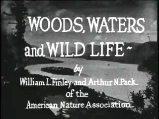 Includes footage of fishing at Celilo Falls and the Oregon Coast (including Cape Perpetua, Heceta Head Lighthouse, Sea Lion Caves, and Three Arch Rocks). Includes title panels: Crater Lake National Park; ...
Citation -
KP-2515-R2-Klamath Project -- STEELE SWAMP DAMSITE SW1/4, Section 13, T 47 N, R 8 E, MDM. View looking southwest from north rim of Willow Creek Canyon. Axis is about 900 feet below confluence of Willow ...
Citation -
1339. [Image] BOLES MEADOW DAMSITE Section 15, T. 45 N., R. 9 E., MDM
KP-2520-R2-Klamath Project -- BOLES MEADOW DAMSITE Section 15, T. 45 N., R. 9 E., MDM. View looking downstream to Boles Meadow damsite from point about 500 feet above on south side of Boles Creek; August ...Citation